Counting points in polygons in QGIS
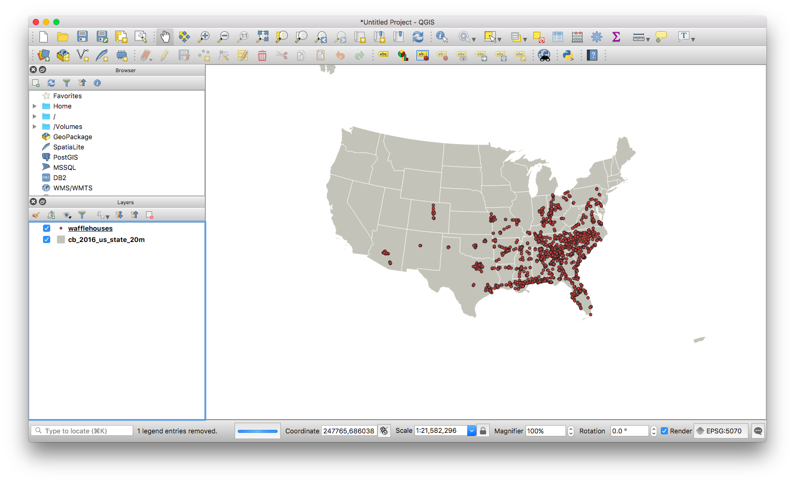
QGIS has a nice points in polygon tool! First two need two things: some points and some polygons.
I have a CSV I imported (with lat/lon) and a shapefile of states.
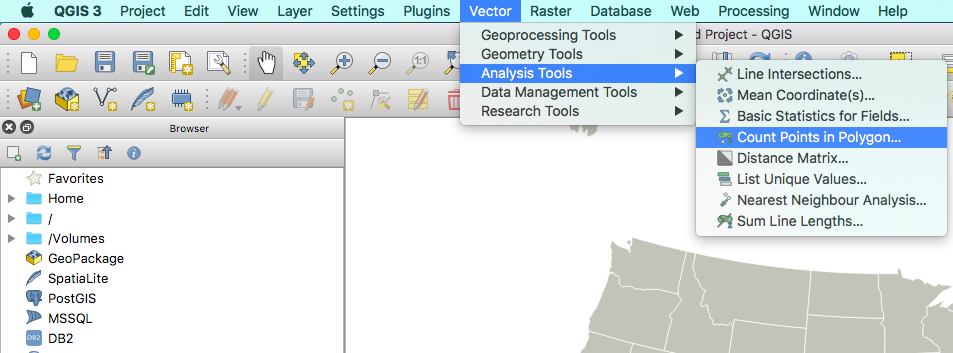
From the Vector menu up top, we’ll pick Analysis Tools > Count Points in Polygon.
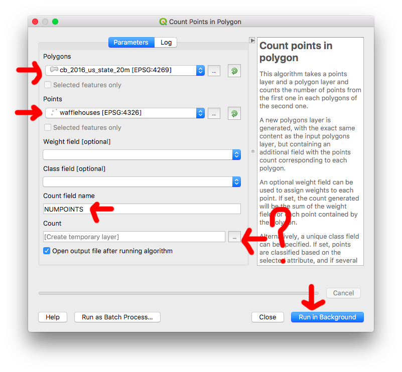
Once the menu comes up, select the shapes you’re using for counting, and the points you want to count. You can also change the column name of count as well as save the output to a shapefile.
Once you’re ready, click Run in Background.
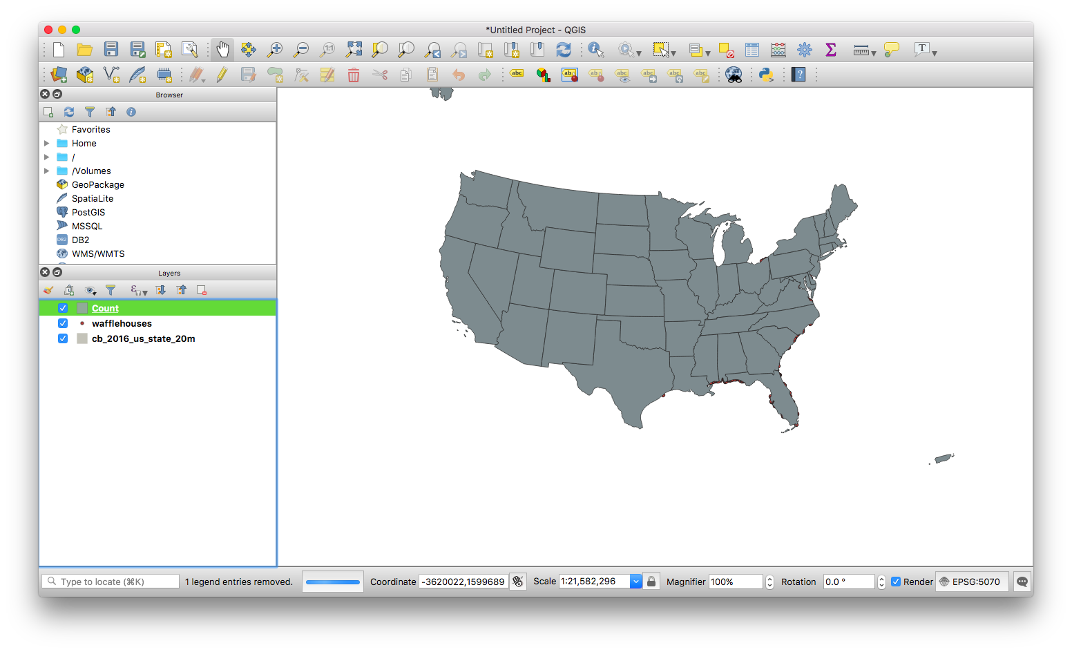
You have a new, totally boring layer!
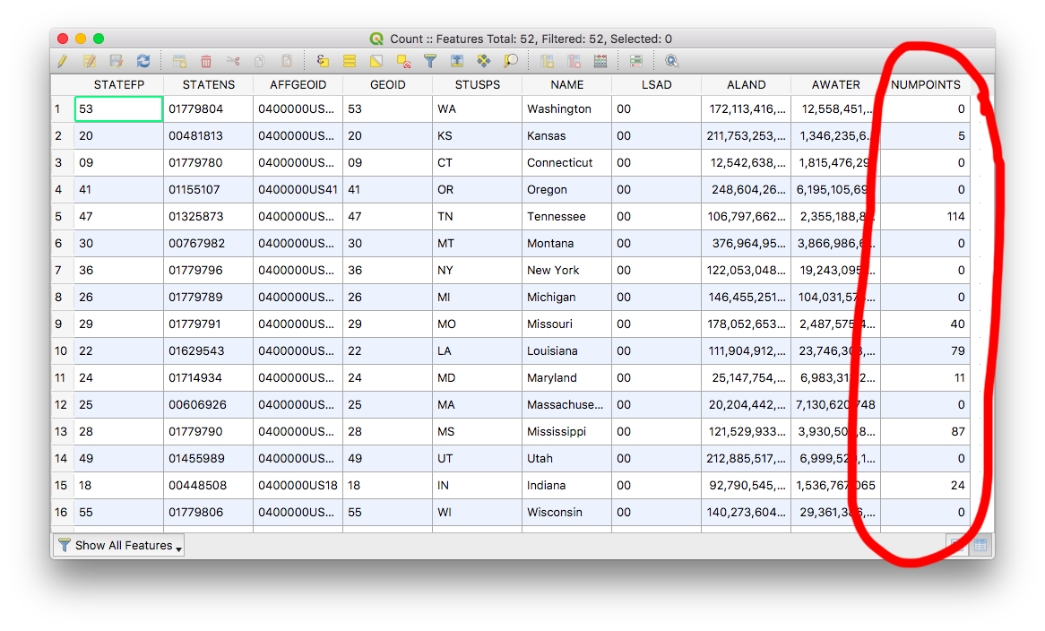
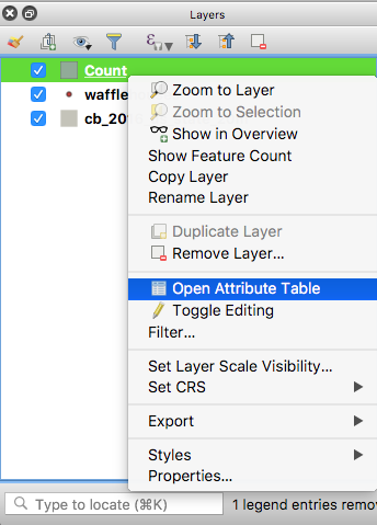
In order to see its data, right-click the layer and select Show Attribute Table.
Now you’ll be able to see the new counting column, probably called NUMPOINTS. You’ll be able to use this column if you want to make a choropleth.